An Introduction to Topographical Surveys
Topographical Surveys in Jamestown, NY & the Surrounding Area

Before breaking ground on any new project, understanding the land is crucial. From the gentle slope of a hill to the exact location of a stream, every feature of a property can impact the final design and construction. This is where a topographical survey becomes an essential first step. It provides a detailed map of a parcel of land, forming the foundation for successful development, planning, and environmental management.
A professional land surveyor creates these specialized maps to show both natural and man-made features. Think of it as a three-dimensional blueprint of the ground itself. This guide will walk you through what topographical surveys are, why they are important, and how they provide the critical data needed for your project's success.
What is a Topographical Survey?
A topographical survey, often called a "topo survey," is a process used to measure and map the detailed features of a piece of land. Unlike a boundary survey that focuses on horizontal property lines, a topographical survey captures the vertical aspects—the highs and lows of the terrain.
The primary goal is to identify and record the elevation, size, and location of features such as:
- Natural Features: Hills, valleys, rivers, streams, trees, and large rocks.
- Man-made Features: Buildings, roads, sidewalks, fences, utility poles, and drainage ditches.
The final report includes contour lines, which are lines on the map that connect points of equal elevation. When these lines are close together, it indicates steep terrain. When they are far apart, the ground is relatively flat. This visual representation of the land's shape is vital for countless applications.
Why are Topographical Surveys Important?
Topographical surveys are a cornerstone of effective planning and design across many industries. They provide the accurate data needed to make informed decisions, prevent costly errors, and ensure projects are both safe and compliant with local regulations.
Architects, engineers, and real estate developers rely on this information to:
- Plan Site Layouts: Determine the best placement for buildings, roads, and other infrastructure.
- Design Drainage Systems: Understand how water flows across the property to prevent flooding and erosion.
- Identify Potential Risks: Locate potential hazards like steep slopes or unstable ground before construction begins.
- Ensure Regulatory Compliance: Provide necessary documentation for zoning permits and construction codes.
Essentially, a topographical survey provides a complete picture of the site, allowing project teams to work in harmony with the existing landscape.
Who Needs a Topographical Survey?
A wide range of professionals and organizations benefit from the detailed information provided by a land surveyor. Key stakeholders include:
- Architects and Engineers: They use the data to design structures and infrastructure that fit the terrain, ensuring stability and functionality.
- Real Estate Developers: Accurate data is required for selecting sites, planning residential or commercial properties, and maximizing land use.
- Construction Companies: Surveys guide grading, excavation, and the overall construction process to match the project design.
- Urban Planners: Local authorities use topographical information for land use management, zoning, and planning public works projects.
- Environmental Consultants: These surveys help assess the ecological impact of a project and support sustainable development practices.
The Topographical Surveying Process
Conducting a topographical survey is a multi-step process that combines fieldwork with advanced data analysis. A qualified land surveyor manages each stage to ensure accuracy and reliability.
1. Planning and Preparation
The process begins with defining the project's objectives. The land surveyor determines the scope of the survey, identifies the necessary equipment, and establishes control points—fixed reference points with known coordinates that anchor the entire survey.
2. Data Collection
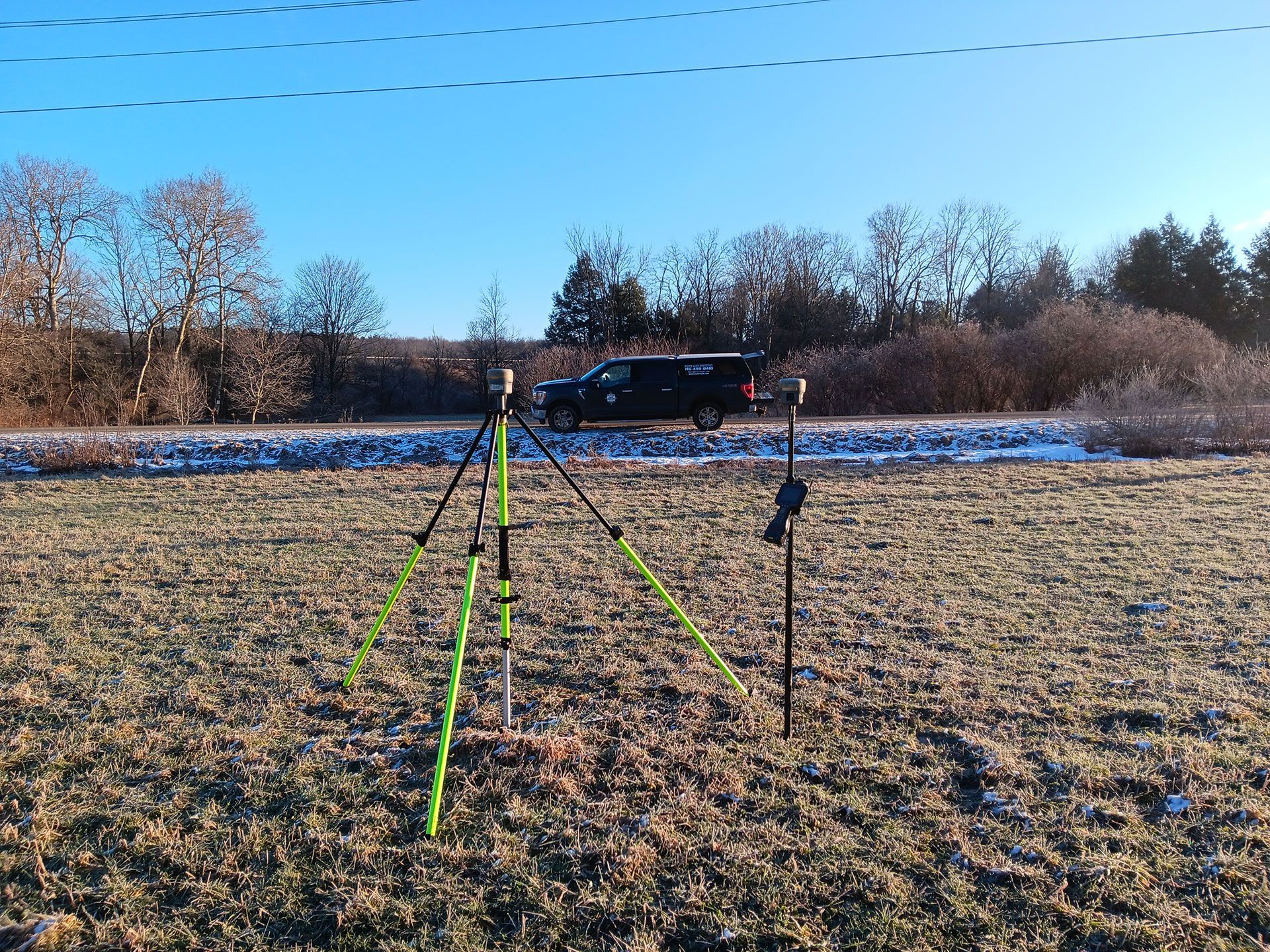
Next, the surveyor goes into the field to collect data. Using sophisticated equipment, they measure the precise location and elevation of features across the property. This involves walking the site and capturing thousands of data points to create a comprehensive digital model.
3. Data Processing and Analysis
Back in the office, the raw field data is processed using specialized software. The surveyor analyzes the information to create a digital elevation model (DEM) and generate the contour lines that illustrate the terrain's shape. This is where the raw numbers are transformed into a usable map.
4. Mapping and Reporting
The final step is creating the detailed topographical map. This drawing shows all collected data, including elevations, contours, property lines, and all identified natural and man-made features. The land surveyor delivers this report to the client, providing the insights needed for their project.
Start Your Project with Confidence
A topographical survey is an invaluable investment for any project involving land development or construction. By providing a clear and accurate understanding of your property, it reduces risk, prevents expensive surprises, and sets the stage for success. A professional land surveyor ensures you have the reliable data you need to move forward with confidence.
If you are planning a project and need to understand your land in detail, our team at White Land Surveying is here to help. We combine expert knowledge with the latest technology to deliver precise and comprehensive topographical surveys. Contact White Land Surveying today to discuss your project and get a professional land surveying quote.